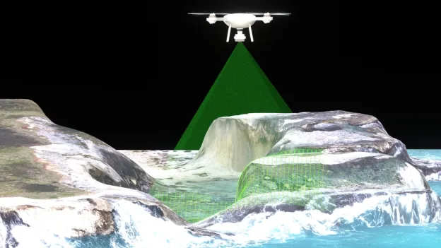
This graduate concentration is part of the Master of Science in forestry program.
Add this concentration to your degree plan and gain the high-tech expertise to analyze, map and manage natural and cultural resources.
You'll use advanced tools like:
- Photogrammetry
- Digital remote sensing
- Geographic information systems
- Global positioning systems
If you're considering a career in fields such as environmental consulting, land-use planning, conservation, historic preservation and resource exploration, this concentration is a strong addition.
We're here to empower you to solve complex, real-world problems from a precise, data-driven perspective.
Apply to the forestry Master of Science program
To be eligible for consideration into the program, you must:
- meet SFA's graduate school requirements
- achieve an undergraduate 2.8 GPA or higher overall
- or a 3.0 GPA on your final 60 hours of undergraduate work
- and be one of the following:
- in your final year of undergraduate work
- holding a bachelor’s degree from a regionally accredited college or university
- or have 95 or more semester hours of undergraduate work at SFA and be approved as an overlap student.
Note: If you have an overall average of 2.5 in your last 60 hours, you may be considered for probationary status.
Ready?
- Secure a faculty advisor by connecting with a forestry faculty member who shares similar research interests.
- Complete the graduate school application.
- Submit a letter of application to the Department of Forestry identifying your advisor and two letters of reference on official letterhead.
Related News

Questions?
Get in touch! We're here to help.
Department of Environmental and Geospatial Sciences
Human Services Building, Suite 312