One degree. Near-limitless opportunities.
Geospatial science is a unique program that includes coursework from a variety of academic disciplines, including cartography, surveying, hydrography, forestry, geography and even sociology and anthropology. It’s also a career-focused program with steady, higher-than-average job growth.
SFA’s geospatial science students graduate with the knowledge, skills and experience they need to pursue exciting, high-paying careers that match their unique interests, from geospatial analyst and professional land surveyor to licensed drone pilot.
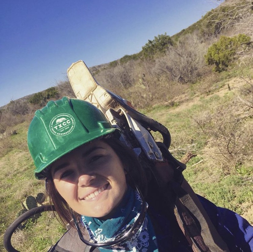
Margaret O’Neil, Class of ‘16
AmeriCorps disaster response team member, Texas Conservation Corps

In her role with the Texas Conservation Corps, Margaret O’Neil relies on the technical skills - such as map reading, plant and tree identification, navigation and geographic information systems - she learned as a spatial science major at SFA. She uses her skills to respond to natural disasters and conduct natural resource restoration projects across the nation.
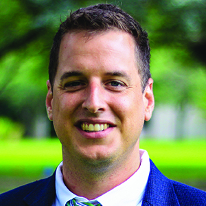
Kyle Palmer, Class of ’12
Scanning/LiDAR Department Manager, Jones/Carter

As the scanning and LiDAR department manager for the civil engineering and surveying firm Jones/Carter, Kyle Palmer uses remote sensing technology to improve lives and develop solutions. His knowledge of laser technology allows him to create custom solutions for data collection where conventional survey methods aren’t feasible, such as in refineries, hospitals and skyscrapers in downtown Dallas.
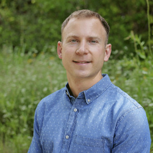
Charles Van Hoose, Class of '10
Geographic information systems supervisor, West Safety Services

As GIS supervisor for West Safety Services, Charles Van Hoose is responsible for the deployment and support of web mapping products used by first responders to save lives across the country. He says his SFA degree in spatial science has given him with the opportunity to travel the nation and collaborate with other professionals in the field.
 Axe ’Em, Jacks!