State-of-the-art equipment
SFA’s geospatial science programs emphasize the use of cutting-edge technology tools. As a geospatial science student, you’ll have opportunities to use highly specialized equipment such as:
- LiDAR remote sensing technology
- 3-D printing capabilities
- Geographic information systems software
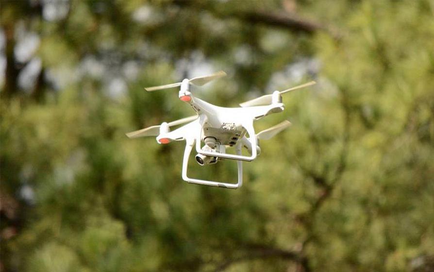
- Drones
- Global navigation satellite systems
Students in the Arthur Temple College of Forestry and Agriculture also have access to the geographic information systems lab with workstation computers and servers hosting extensive geospatial databases.
Videos: Geospatial science technology in action
Want an in-depth look at how SFA geospatial science students are using technology? Check out some of our recent projects:
3-D print of the Himalaya range
As 3-D printing becomes more accessible to the public, Dr. Yanli Zhang, associate professor of geospatial science, is examining ways the technology can be incorporated into the classroom. This touchable terrain model of the Himalaya mountain range provides students with a physical representation of how a landscape’s topography affects hydrology and more.
Check out our video of a 3-D print of Himalaya Range Featuring Mount Everest.
Urban tree health assessment
One of the Forestry Building’s towering loblolly pines was suffering from damage inflicted by Ips bark beetles. SFA’s geospatial science faculty used a drone to conduct a full health assessment on the tree and decide on a treatment plan.
Experimental forest survey and inventory
Unmanned aerial systems, or “drones,” offer an unparalleled view of forest canopy composition. Dr. Daniel Unger, professor of remote sensing and geographic information systems, piloted one of the college’s drones to capture footage of forestry field station, students surveying boundaries and conducting a forest inventory assessment at the Stephen F. Austin Experimental Forest.
 Axe ’Em, Jacks!
